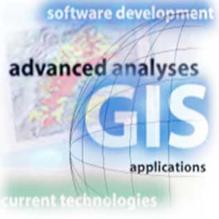
Providing Geospatial Expertise
Spatial Data Management, GIS Solutions Architectures, Research and more.
Spatial Data Management, GIS Solutions Architectures, Research and more.

The principles behind spatial data management are simple: the geographic data necessary for good governance should be collected only once, readily accessible and in formats that are usable by a variety of users and applications.
Under these principles, data managers must:
Corporations are looking for ways to improve spatial data management as a way to cut costs, eliminate waste, avoid duplicate efforts and improve customer service. In some ways, the real value of spatial data management is in understanding all of the data assets internally.

The discipline of extracting insights from data tied to geographic locations. It blends GIS, statistics, machine learning, and domain knowledge to analyze where things happen and why.
The key elements of this discipline are:
Applications of these principles include: urban planning, environmental monitoring, climate risk, public health, mobility, retail siting, agriculture, disaster response, logistics..
GIR is concerned with improving the quality of geographically specific information retrieval with a focus on access to unstructured documents such as those found on the Web.
There are several aspects of GIR that need to be improved:
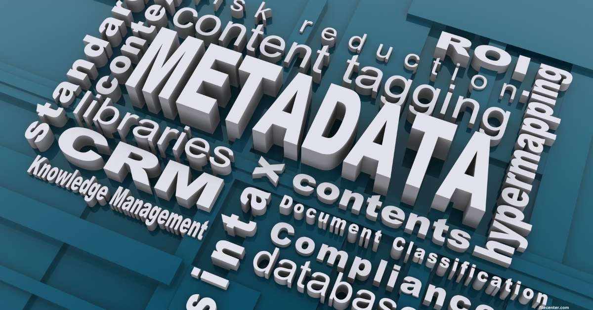
Why is Metadata Management an important aspect of good Data Governance?
To turn data into information assets requires that you not only consider data governance but also metadata management. Without a complete understanding of the data upon which an organization relies, decisions about how it should be managed and used for competitive advantage, internal business processes and regulatory compliance will be based more on instinct than on facts.
Providing a wide range of expertise centred on the world of geospatial technologies
The use of AI within GIS leveraging machine learning and data analysis techniques to enhance spatial data interpretation, automate feature detection, and improve decision-making processes in geographic information systems.
Our process builds on your existing information technology (IT) infrastructure and provides specific recommendations for hardware and network solutions based on existing and projected business (user) needs.
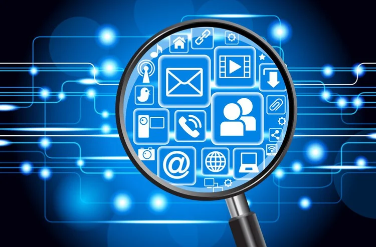
Information retrieval is the process of searching, locating, and extracting relevant data or documents from large collections of information based on user queries or criteria.
Bringing project management discipline to the planning, organizing, and overseeing resources and tasks to achieve Enterprise GIS capabilities within a defined scope, time, and budget.
Software development is the process of designing, coding, testing, and maintaining applications or systems to meet specific user needs and functional requirements.
Using Oracle Spatial or PostgreSQL+Postgis as specialized database systems designed to store, manage, and query geographic and spatial data, enabling efficient analysis and visualization of spatial relationships and features.